..
.
FOLLOWING
THE WATER
DANIEL METCALFE
.
OUTWARDS
1. FOLLOWING THE WATER
I followed the winding of the stream to the estuary, reflecting the movement of the water. I felt myself being pulled directionally, following the stream’s desire to get out into the open water.
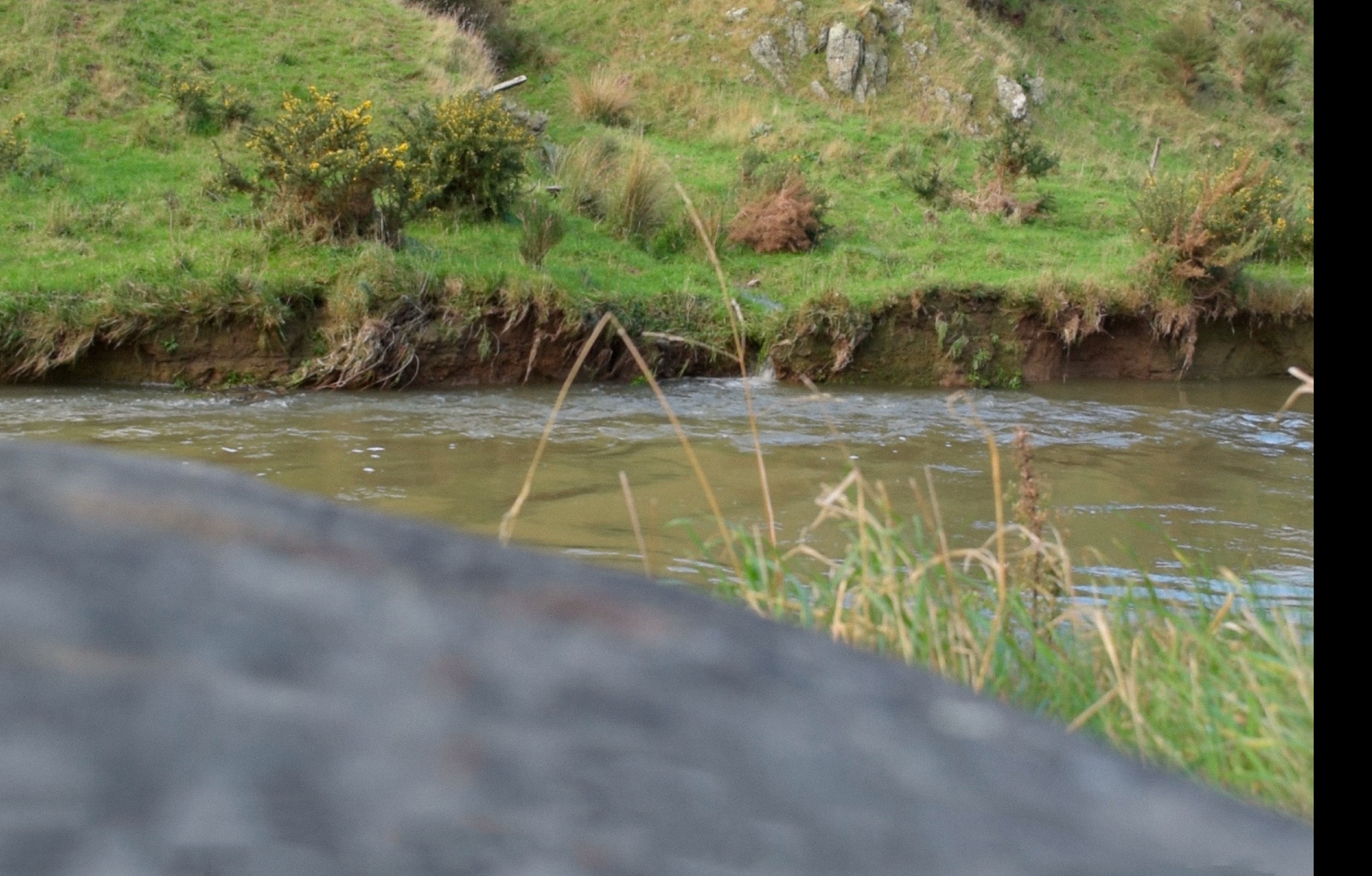
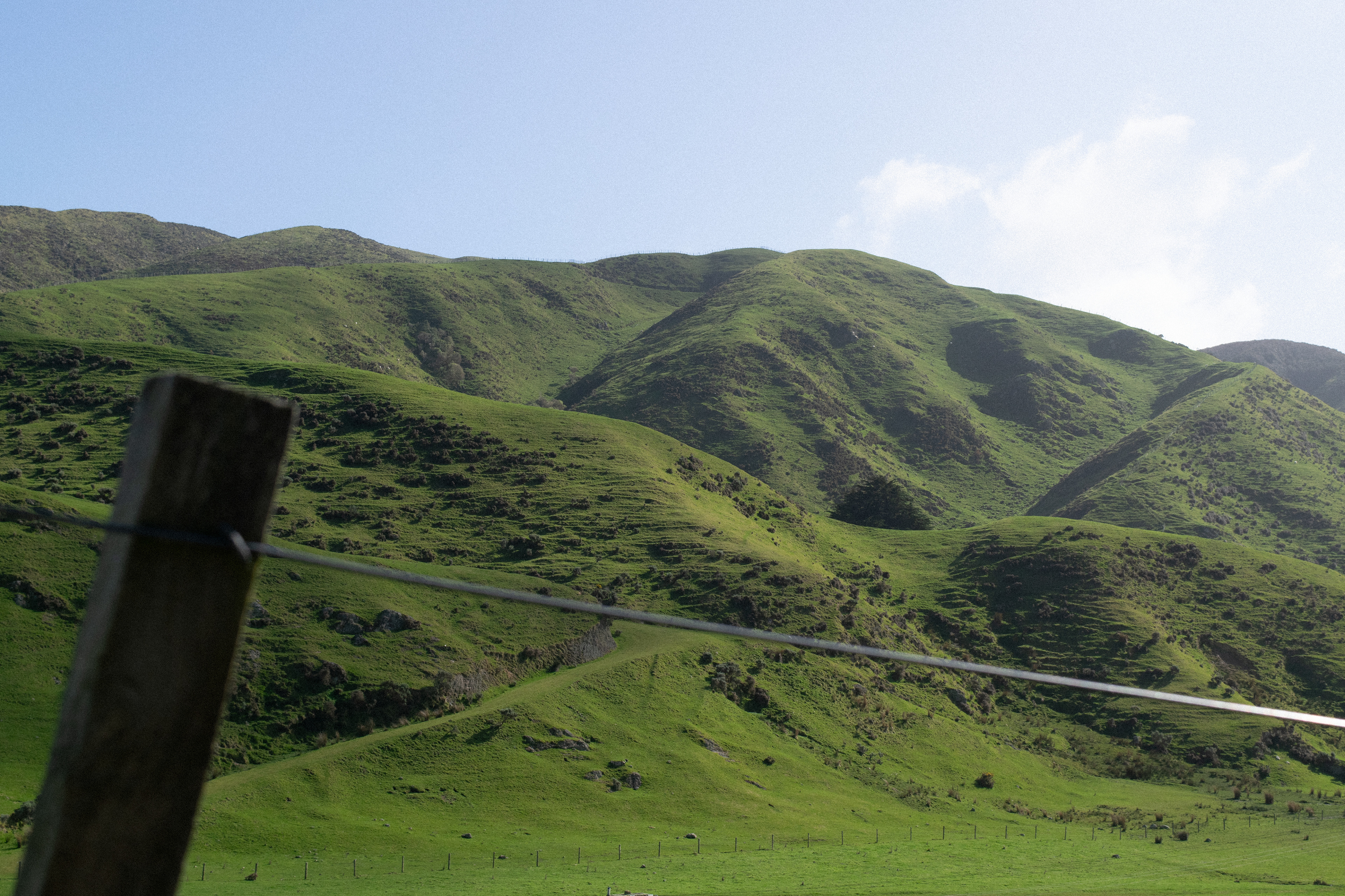
It seemed that everything in the landscape was attracted to this pull. Banks appeared to be breaking away, giving the stream what the land carries. The contrast with the grass above was too hard to ignore as the revealed soil followed me. The valley was filled with cows and sheep grazing beside the stream. Number 8 wire and fence posts split the stream up into plots. Making it visible, but inaccessible from the road that winds with the stream.
At the turnoff to the estuary, the water’s movement eased as it merged with the other stream. I slowed down to match.
The open feeling of the landscape brought my attention to the sky. The hills ahead were full of grass or lined with pine.
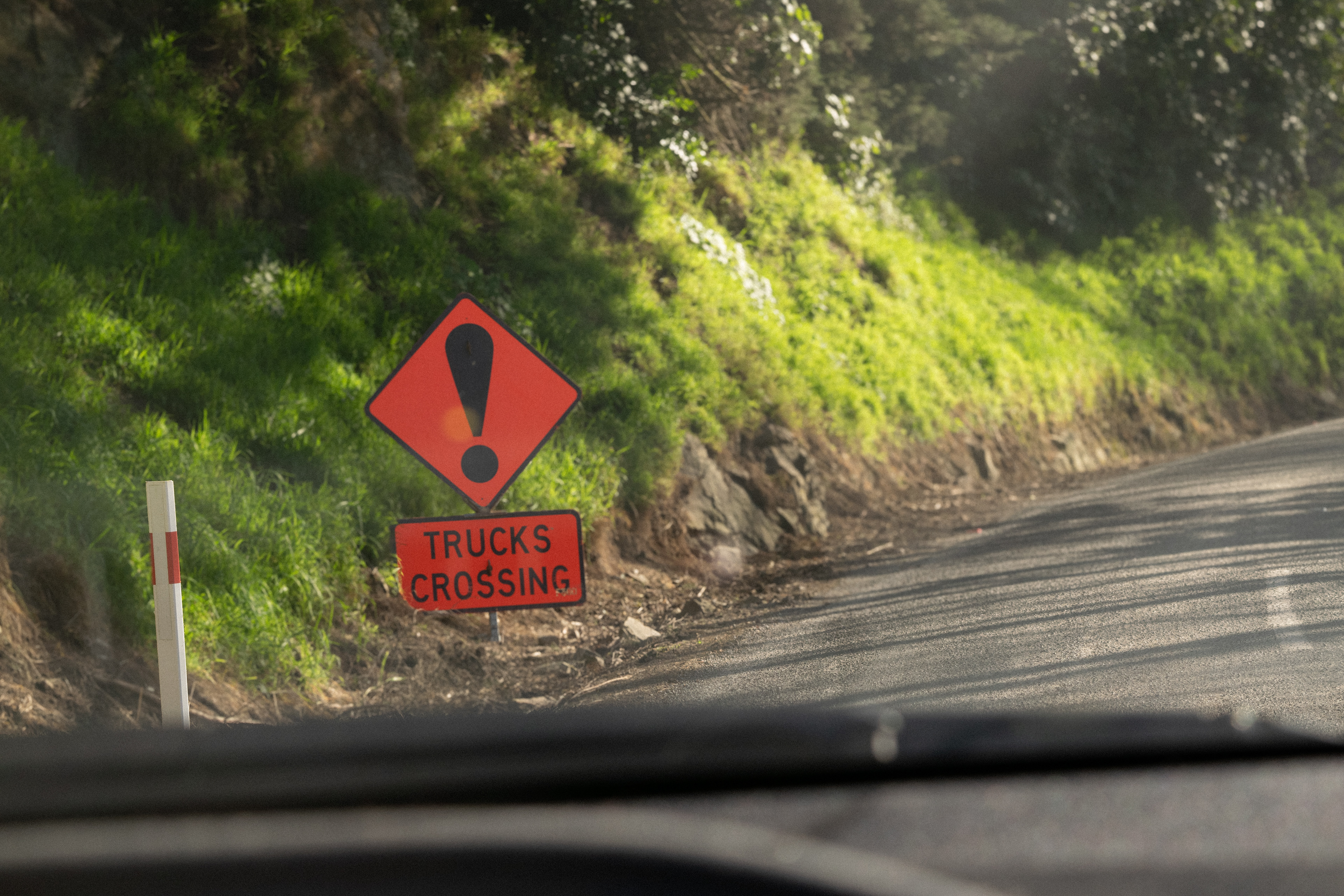
Hazard signs, road workers, and trucks came into view. Chain saw and wood chipper noises filled the landscape as I waited for the lights to turn green. Driving through, I saw that the cliff had given way bringing pine with it.
The revealed rock and soil looked wet from the previous rain. A pile of trees sat by the road. Workers were cutting the pine that had made it into the stream.
Continuing towards the estuary, I entered the reduced light cast by the pine trees. The stream’s visibility faded, drawing my attention to the forest. The water’s pull continued to be felt in my movement.
Coming out into the open, I got a glimpse of the estuary. I followed it to the ocean.
The directional pull gave way as I reached the end of the road. The ocean was a barrier, pulling me back to the estuary.
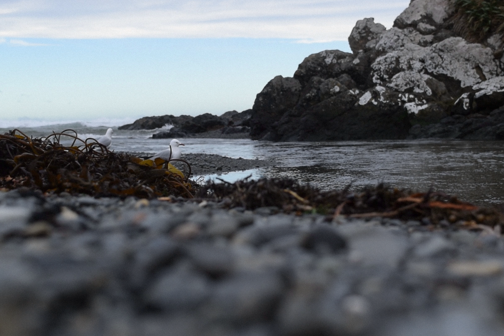
The smell of salt air, and mud hit my nose as the wind rushed. Bird and water noises brought my attention back as my mind drifted.
As the water moved both ways, I paced back-and-forth along the shore.
The conditions changed as I did, yet the water movement remained a syncing point.
2.THE MEETING POINT
The estuary was a place I kept returning to. I could not get it out of my mind. All the roads, streams, and land were guiding me towards this common meeting point. I watched an intricate dance of movement, where everything acted as one. I was no longer observing but part of the estuary.
There was a give and take between the stream, ocean, and land. Fresh water flowed from the stream. The ocean pushed in at the estuary mouth. Mixed water circulated with the tides. The shore changed in this back-and-forth dance.
Birds flew low through the mouth, reflecting the water flowing out. They played in the wind at the shore. They flew high inland, like the rising tides. They were in sync with the water. The estuary was intertwined beyond my view. The land appeared in the water in front of me.
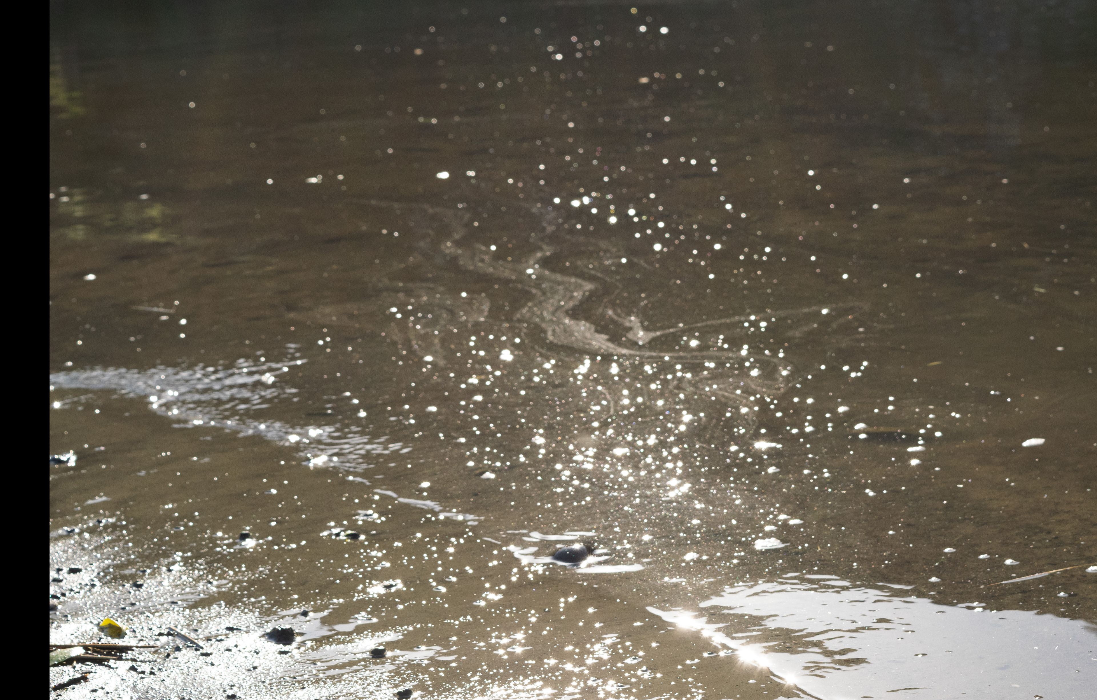
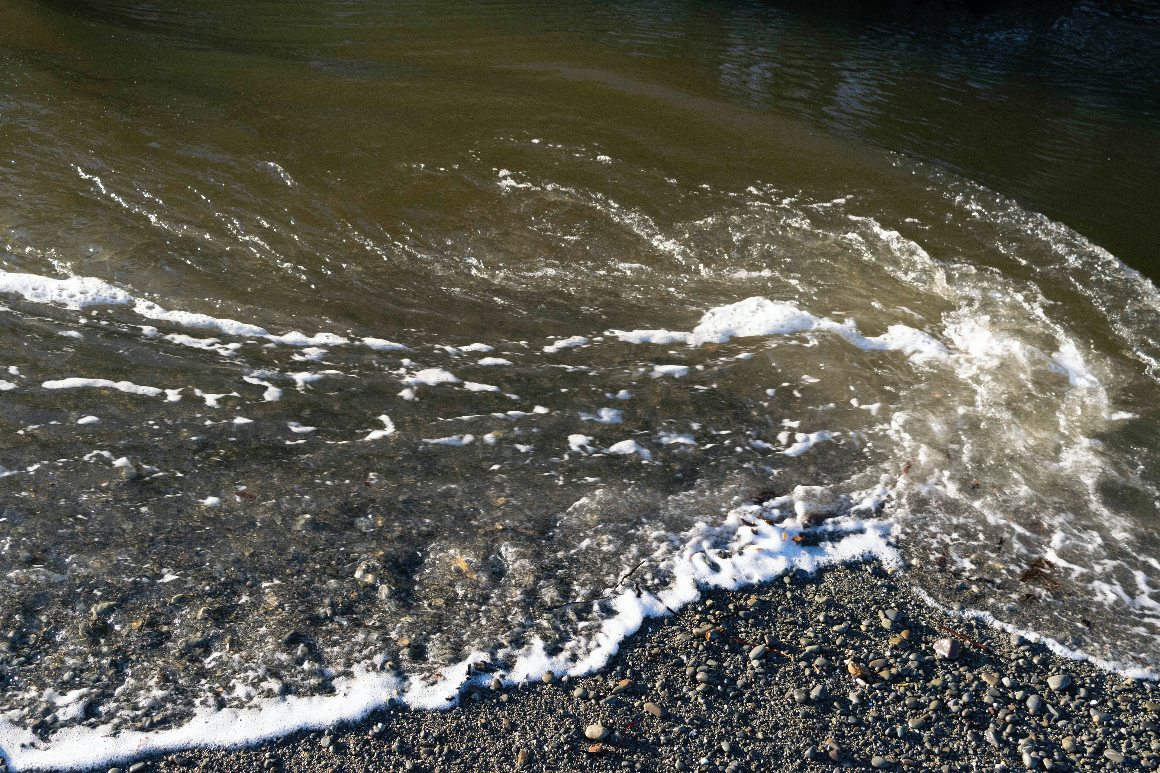
Sediment floated in shifting patterns towards the open ocean. The way it shimmered in the light was beautiful, yet it gave the same feeling as seeing oil on top of the water. It looked at home but out of balance. What was invisible to me at first became all I could see.
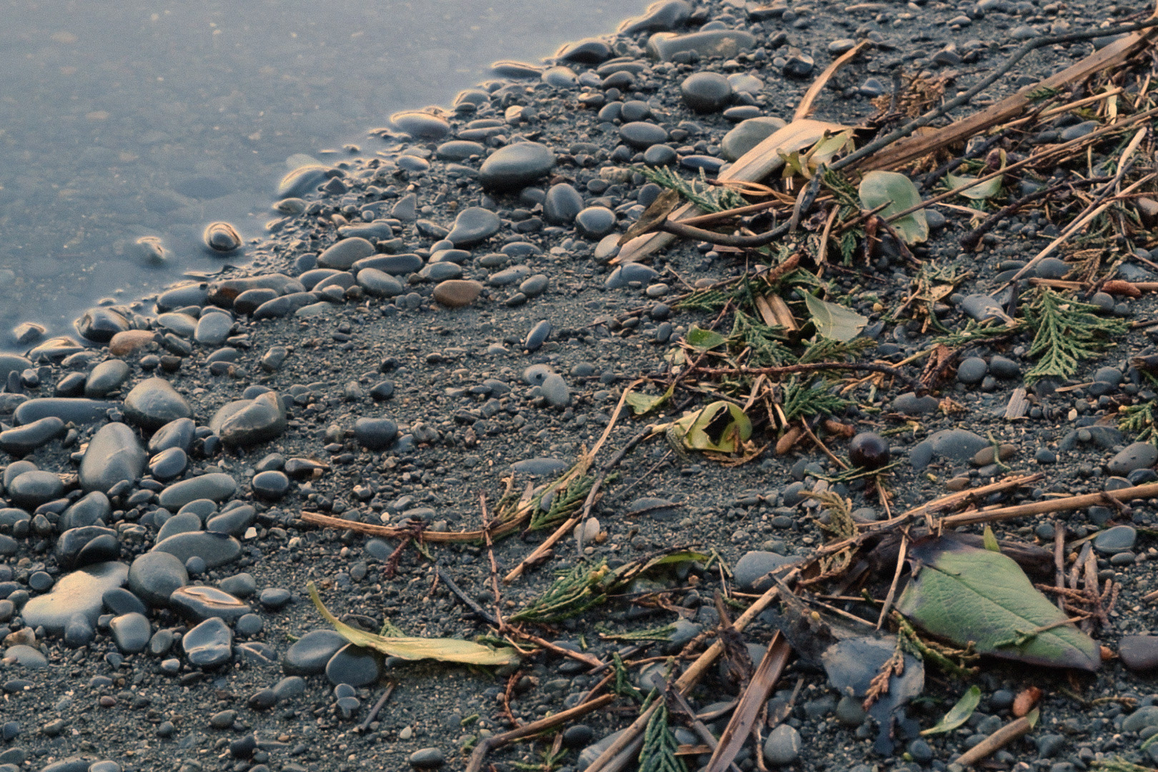
Pine needles moved through the estuary body. The shore was full of washed up pine. What looked like occasional traces, were ongoing.
The lined hills and broken banks hinted.
.
.
3.WITHIN THE VALLEYS
Moving back upstream, the landscape revealed its relationship with the water.
The sides of the valleys acted as a funnel for the land to give itself to the stream.
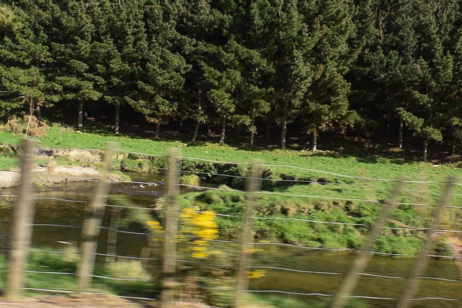
Towards Mākara, the grass revealed the land’s structure and folds. Pine occasionally appeared. Broken banks lined the stream ready to fall in.
Towards Ōhāriu, rows of dark green and brown covered the hills. Fields sat in the valley. Broken banks lined the stream.
Both ways, patches of replanted banks showed what they may have looked like before.
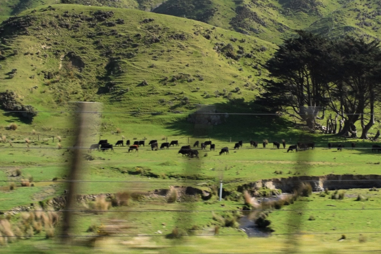
The land was changing but looked still.
.
.
INWARDS
4. THE GIVING LAND
The land looked stationary. Its scale made it easy to miss the movement. I stared at the drowning farm and saw that the stream had shifted colour. I did not notice that the soil was taken.
The actions of reality were subtler than my imagination. The land shifted through continuous small changes rather than one spectacular event.
During rain, water makes its way from the hills into the valleys, loosening soil and carrying it towards the stream as sediment.¹
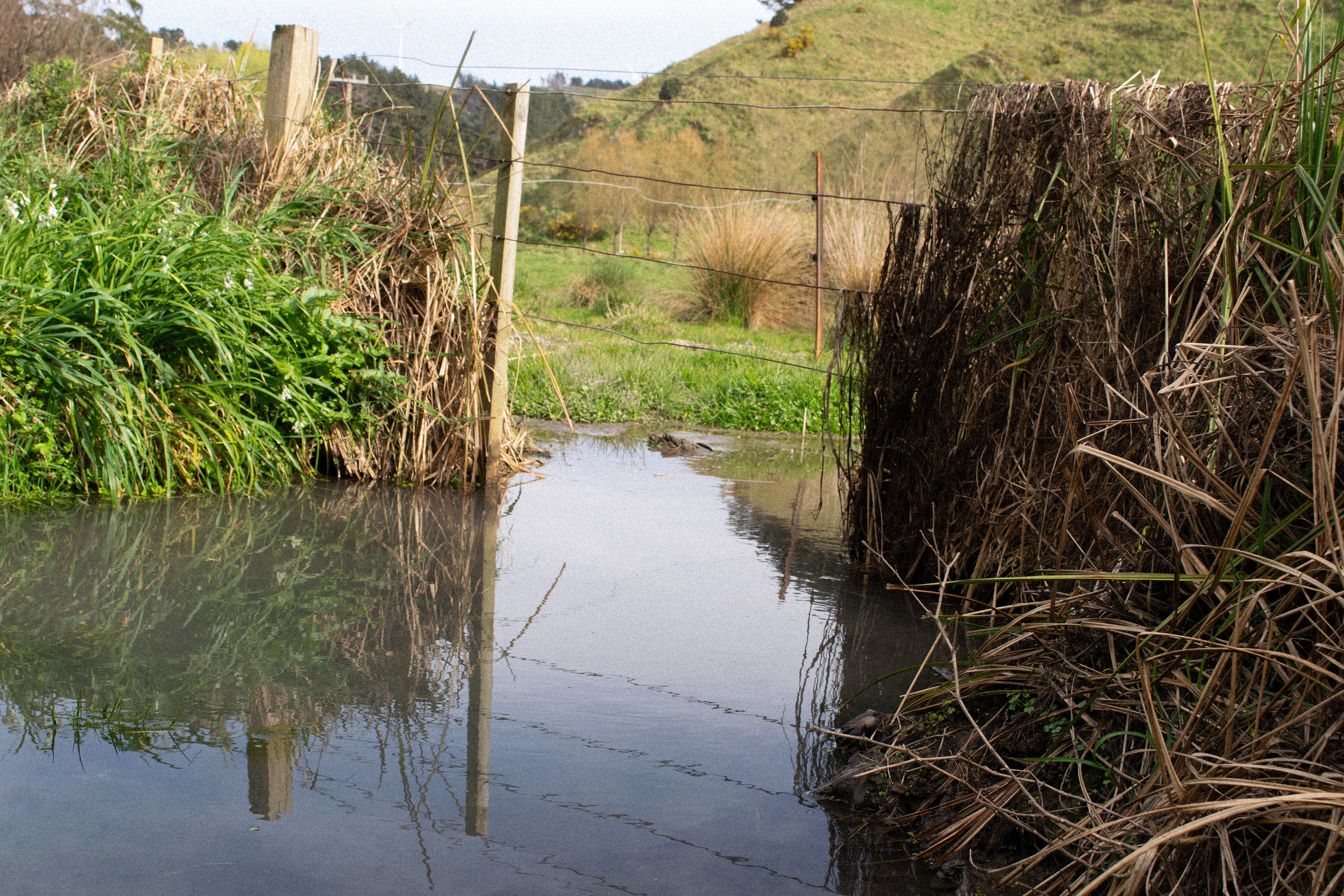
By the stream, the exposed soil is ready to enter the water. During high flow events such as storms more water moves through, breaking away soil from the banks into the water.²
Once in the water it accumulates.
.
5. THE THINGS GIVEN
The stream appeared similar to tap water, yet I could not drink it. The water changed without telling, only entering awareness through data on a chart.
Close to the estuary, Mākara stream monitoring shows unbalanced bacteria, nitrogen, sediment, and phosphorus.³
E.coli and other bacteria can make water unsafe to drink or enter. While E.coli has a low effect, it signals other harmful germs are in the water which impact the wildlife and ecosystem.⁴
Nitrogen and phosphorus naturally occur in rocks, soil and water, but when their levels increase they can cause excess plant and algae growth which can deplete oxygen and threaten wildlife.⁵ High nitrogen can make the water unsafe to drink.⁶
Sediment transports these imbalances into the water. It can clog gills and fill underwater habitats.⁷
Mākara stream is in the worst 50 percent of rivers and streams in Aotearoa, with phosphorus and waste-based nitrogen being in the worst 25 percent.⁸
Total nitrogen and phosphorus in the water appear to be improving. Yet, E.coli, sediment, and waste-based nitrogen appear to be getting worse.⁹
The land was giving more than soil to the water.
.
.
.
6. CHANGING LANDS
The uniformity of the pastures and pines showed we altered the land to fit our desires. Fences grids, and ownership changed how we engaged with the land. A human centered environment changing how the water danced.
Living pine stabilises the soil with its root, but mass clearing during harvest creates unstable land. The lack of tree coverage also makes the soil vulnerable to rainfall.¹⁰
This is worse on hills where gravity increases movement. Cleared hills leave the land prone to landslides and surface erosion.¹¹
Pine monocrop planting reduces biodiversity. Fungicide and pesticides are used so that only pine grows. This creates soil issues and brings chemicals down to the water during storms.¹²
Flattened to topology, grass fields leave no root structure.¹³ Land without grass is seen as a wasted opportunity, but keeping it all productive increases land loss at the stream edge.
The soil is overused in farming. Nitrogen and phosphorus fertilisers are used to recover dying soils, creating a cycle of under and over nourishing.¹⁴ Livestock waste adds E.coli and other bacteria to the land.¹⁵
Hillsides and stream edges break away without root stability.¹⁶ This can be amplified through livestock movement which can damage the banks and soil structure.¹⁷
The pine rows and gridded fields were not a stylistic choice. They represented the most efficient way of distributing, maintaining, and harvesting the land.
.
.
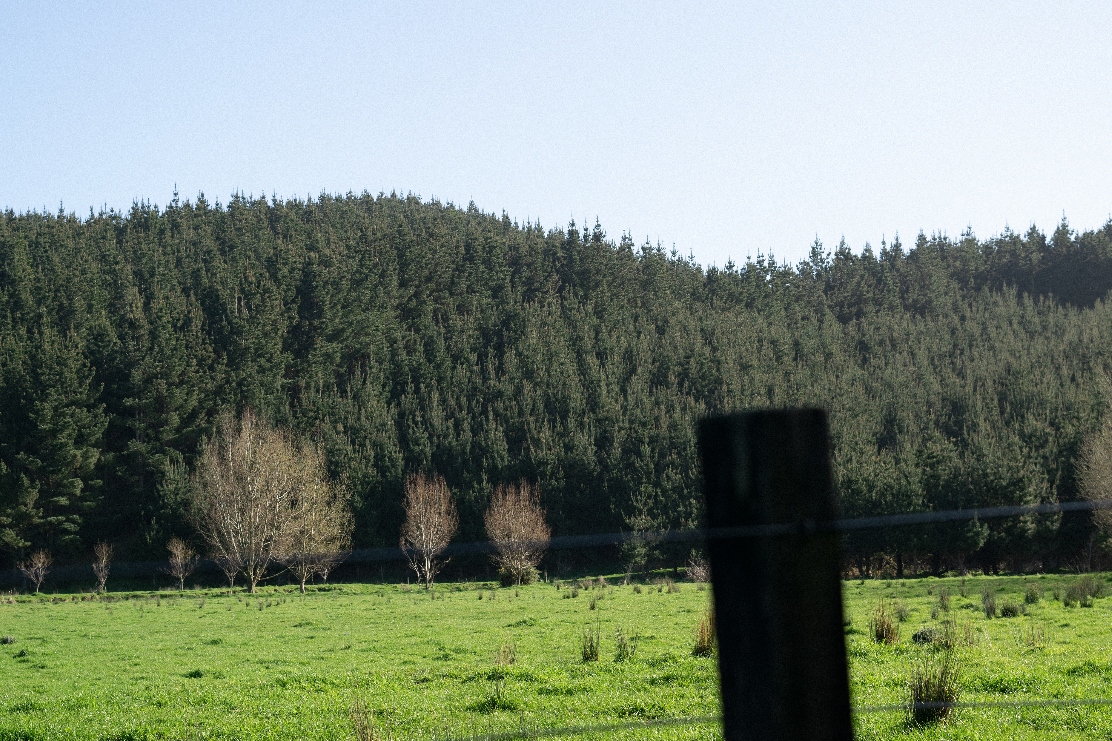
The water was public, but runs through private land.
7. CLARIFICATION
The nuance is that while nitrogen and phosphorus levels are not great in Mākara stream, they appear to be getting better.¹⁸
This could signal better fertiliser use on land around the water. Alongside this, more of the stream is fenced off from stock, meaning less direct impact on the water.
The largest farms in the area such as Terawhiti Station, Kinnoull Station, and Mākara Farm, have given land for the Capital Kiwi Project.¹⁹
Many farmers are replanting stream edges with help from the Mākaracarpas.
Tuna (eels) live in the stream by Mākara School, showing signs of healthier environments higher in the stream.
All of this shows farmers are changing how we work with the land. It shows us moving towards a healthier ecological framework.
Furthering this, we cannot blame farmers or land owners for giving us what we want. The table I sit at, studs in my house, and food I am grateful for, influence land use more than any single farmer or land owner. What sits behind the fence reflects our needs and desires.
.
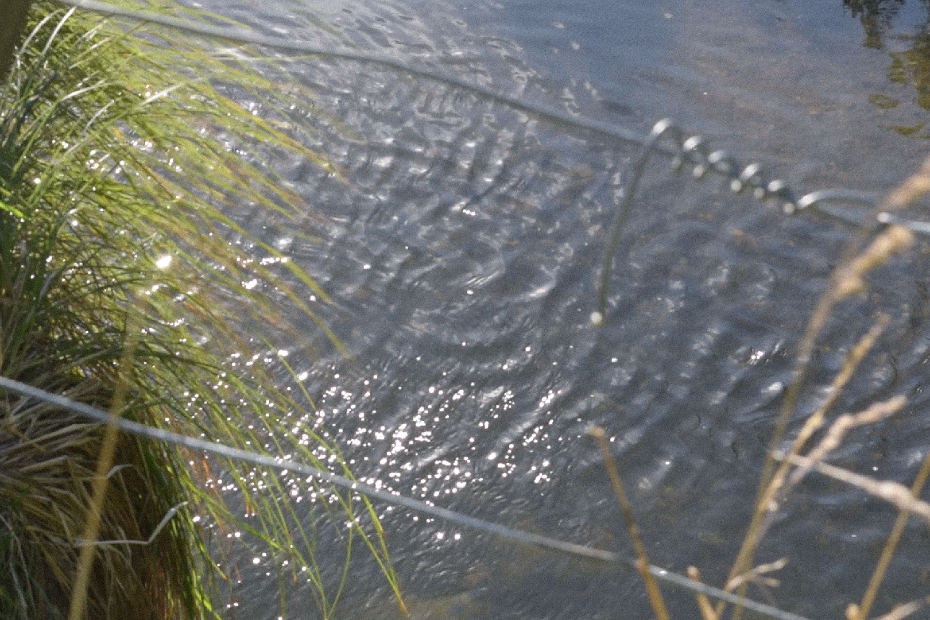
The shimmer of the water, reflected our desires.
.
CIRCULATING
8. THE ROAD'S LANGUAGE
The roads carved through the valleys mimicked the stream. The concrete stood out via satellite but was invisible to my mind driving through the area. The skeletal network was a symptom of our desire to change the land.
Roads went in before the land changed. They allowed access for transportation, excavation, and resource exchange.
They gave access to the estuary but hurt it too.
Roads acted as data collectors. Land use became visible through movement on the roads.
Without our roads, nothing can move.
.
9. PALLET DRIVEN ECONOMY
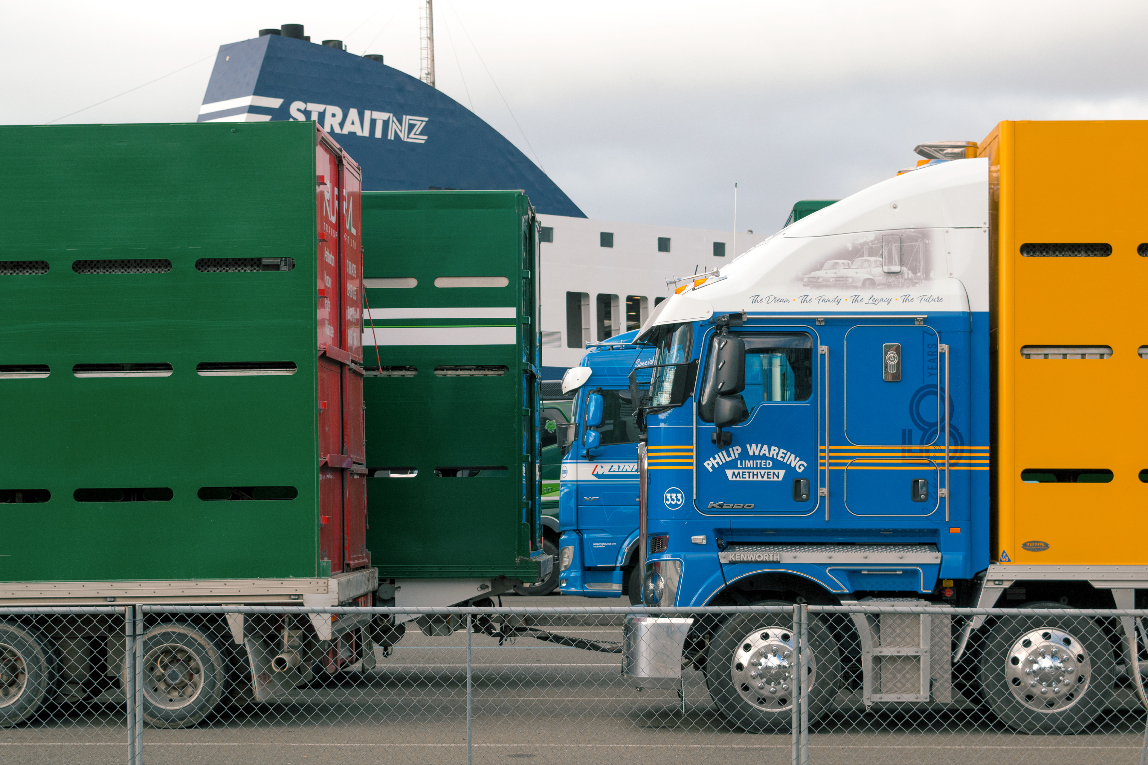
The estuary was intertwined with the pallet driven economy. Log and stock trucks occupied both lanes of the road, desyncing me from the water movement. I followed them to see where they went.
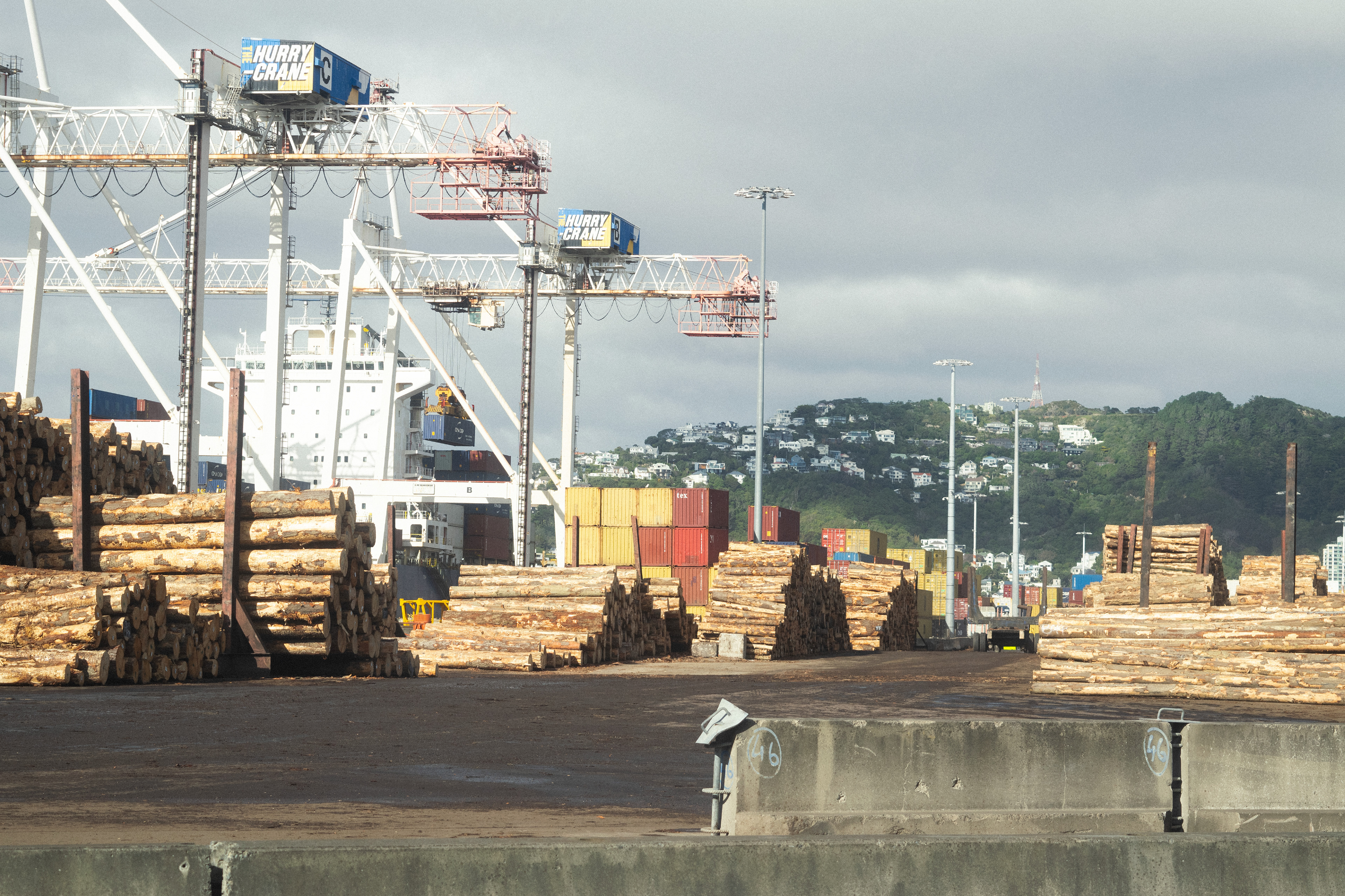
Logs and containers waited at port to go overseas and stock waited for the ferry. The estuary was linked to the network of highways and seas.
We shipped the land off, getting little back. Aotearoa received some, farmers less, and the environment the least. We gave it to the globe for a fraction of its value.
We bought back processed timber that we exported raw. Global companies closed local plants, leaving us reliant beyond our borders.
We farmed what sold overseas, not what created community. On what remained, supermarkets set the price.
The market dictated what we did to the land but the pallets did not care for us.
.
.
Farmers were underpaid while we overpaid..
.
10. SIGNS THROUGH OUR LAND
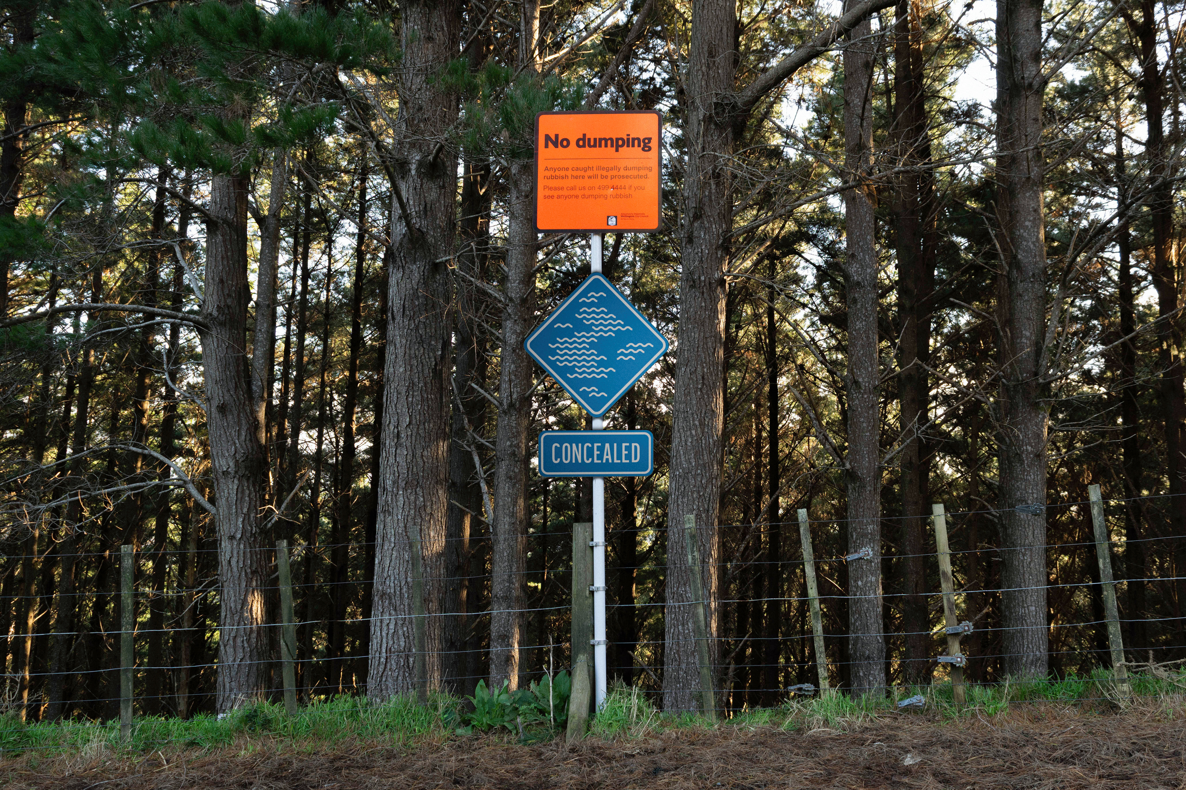
The signs did not linger beyond their communication, but altered the flow created by the water.
What appeared as hazards were symptoms of our modified lands. They signalled where the land was given to the stream.
I followed them like a map through the valleys to find what linked to the water. Their disruptions were lenses leading me back to the estuary.
To navigate the roads, we followed signs.
.
11. BACK AT THE ESTUARY
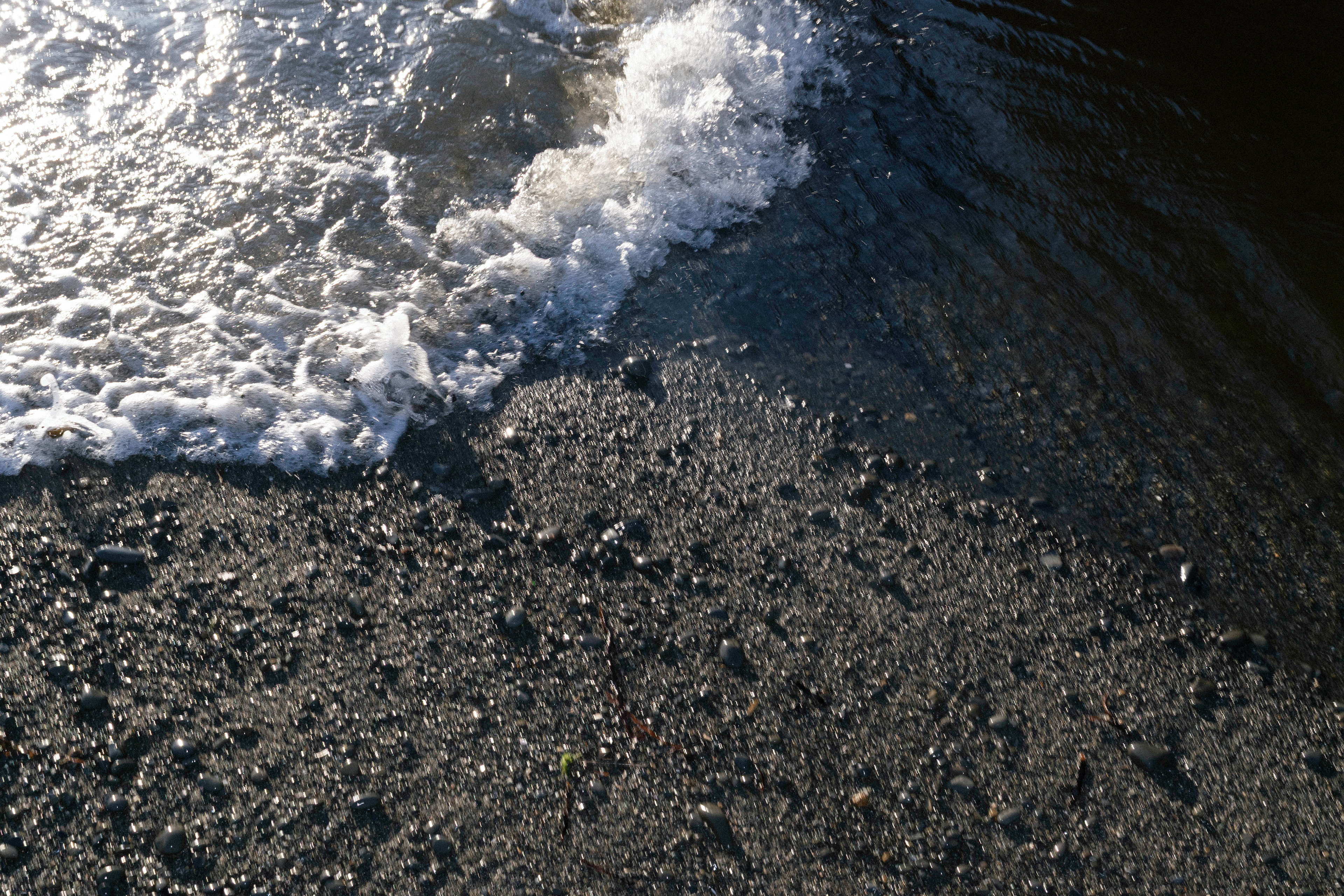
The land and what it gave mixed in the water. There was a hierarchy within the land but not in the water.
Like the tide pushing against the stream I found myself with mixed perspectives.
Those who inherited the land did not change it, but deal with the costs. The mana whenua who lost access deal with disruptions to their whakapapa. The land and water deal with the changes to its natural order. The plants and animals do not get the option of a treatment plant. I relied on farming, forestry, and infrastructure.
My perspective changed depending on which side of the fence I stood.
.
Everything meets at the estuary.
.t
.
12. ENDNOTES
01.
Wendy S. Merritt, Rebecca A. Letcher, and Anthony J. Jakeman, “A Review of Erosion and Sediment Transport Models,” Environmental Modelling & Software 18, no. 8–9 (2003): 761–99.
02.
Andrew O. Hughes et al., “Stream Bank Erosion as a Source of Sediment within New Zealand Catchments,” New Zealand Journal of Marine and Freshwater Research 56, no. 4 (2022): 632–55.
03.
Land, Air, Water Aotearoa (LAWA), “Makara Stream at Kennels”.
04.
Land, Air, Water Aotearoa (LAWA), “Faecal Indicators”.
05.
Land, Air, Water Aotearoa (LAWA), “Nitrogen”, LAWA, “Phosphorus”.
06.
Land, Air, Water Aotearoa (LAWA), “Nitrogen,” accessed September 07, 2026, https://www.lawa.org.nz/learn/factsheets/nitrogen.
07.
Land, Air, Water Aotearoa (LAWA), “Water Clarity,” accessed September 07, 2026, https://www.lawa.org.nz/learn/factsheets/water-clarity.
08.
Land, Air, Water Aotearoa (LAWA), “Makara Stream at Kennels”.
09.
Land, Air, Water Aotearoa (LAWA), “Makara Stream at Kennels”.
10.
Mark Bloomberg et al., “Alternatives to Clearfelling for Harvesting of Radiata Pine Plantations on Erosion-Susceptible Land,” New Zealand Journal of Forestry 64, no. 3 (2019): 33–39.
11.
Chris Phillips, Michael Marden, and Les Basher, “Plantation Forest Harvesting and Landscape Response: What We Know and What We Need to Know,” New Zealand Journal of Forestry 56, no. 4 (2012): 4–12.
12.
Ministry for the Environment and Stats NZ, “Issue 2: Water Is Polluted in Urban, Farming, and Forestry Areas,” in Our Freshwater 2020 (Wellington: Ministry for the Environment, 2020).
13.
Paul Gregg, “Soil Erosion and Conservation,” Te Ara: The Encyclopedia of New Zealand.
14.
Ministry for the Environment and Stats NZ, “Chapter 3: Our Activities and Their Effects,” in Our Land 2021 (Wellington: Ministry for the Environment, 2021),
15.
“Infectious Substances,” Kaitiaki Tools, NIWA.
16.
“Riparian Vegetation and Forestry,” Kaitiaki Tools, NIWA.
17.
Paul Gregg, “Soil Erosion and Conservation,” Te Ara: The Encyclopedia of New Zealand.
18.
Land, Air, Water Aotearoa (LAWA), “Makara Stream at Kennels”.
19.
“Project Area,” Capital Kiwi Project.
.